|
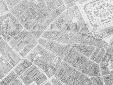
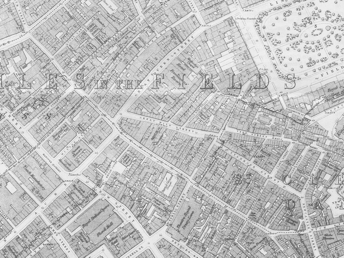
| Map of Drury Lane, 1873. |
If you would like to discover more about the other businesses that were down Drury Lane, click the link below, and you'll discover material from Kelly's Post Office Directory of London, 1870.
Back to the Map Room, or back to Drury Lane.
Copyright J Sainsbury plc, 2002.