showing Enfield, 1920 (1.3Mb).
|
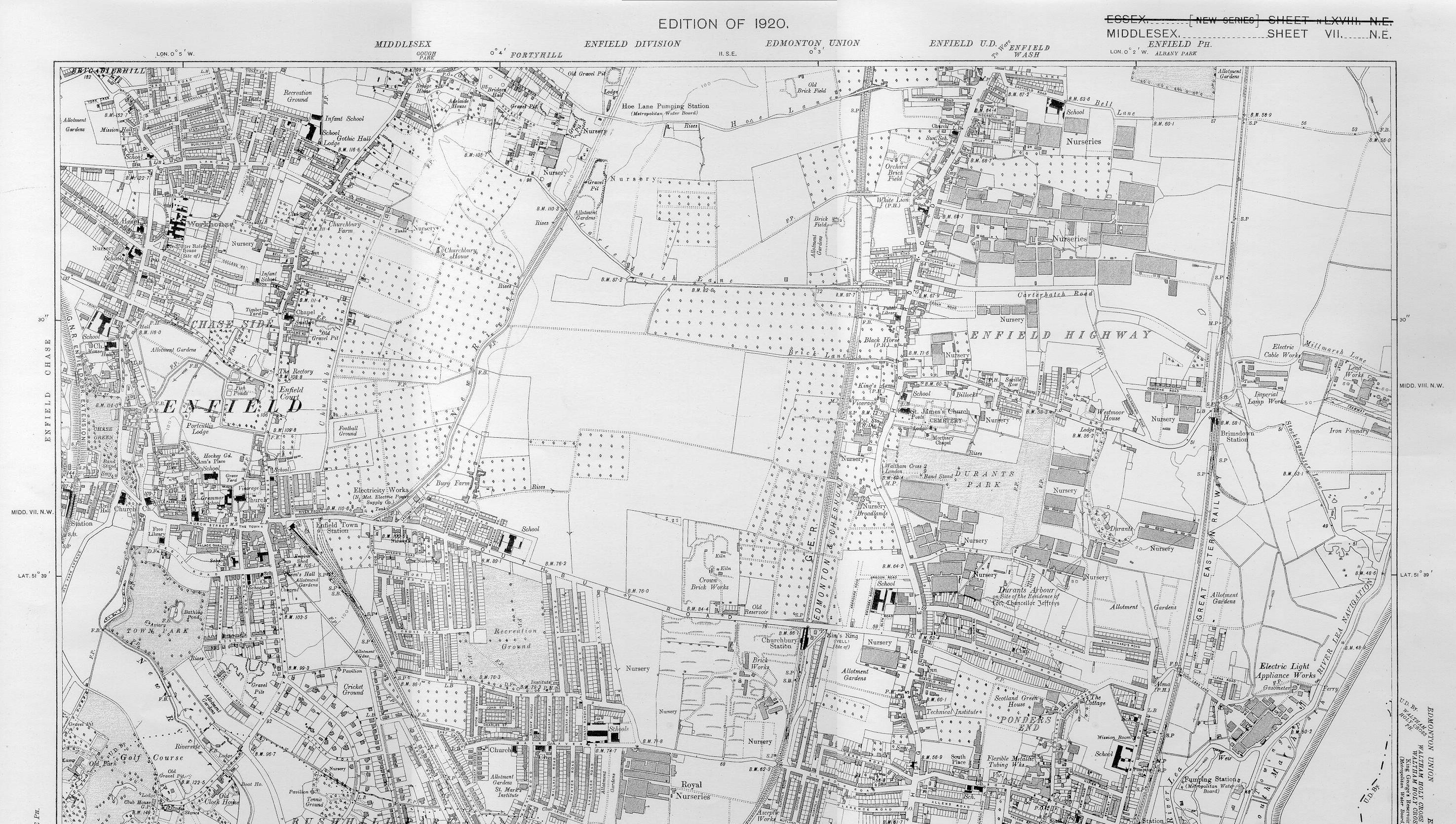
| Ordnance
Survey Map showing Enfield, 1920 (1.3Mb). |
The map also shows the Edison Electric Company factory, where, according to his personnel record, Harry worked for six months before joining Sainsbury’s, located at the far right hand side of the map, adjacent to the river Lea.
Our account of Harry’s leisure time is fictional, but is based on local features that would have been familiar to Harry: the cinemas, the bathing pond in the town park and the tram routes between Enfield, Enfield Wash and Ponder’s End.
Click on the image to see a larger, more detailed version; however,
it is quite a large file and so may take a while to download.
Copyright J Sainsbury plc, 2002.